From the Fairholme car park you head around the reservoir before heading up hill onto Derwent edge and amazing views over the reservoir and across to Edale. Distance - 13 km Food - at the Fairholmes car park there is a take away shop serving drinks and snacks. Toilets - toilets at car park Parking … Continue reading Derwent Edge (13 km)
Tag: view
Mill Gill from Askrigg (7 km)

From Askrigg a nice gentle walk to see Mill Gill with some gorgeous views along the valley. A nice one if you just have a few hours and fancy seeing a waterfall! Distance - 7 km Food - cafe and pubs in the village. Toilets - only at any pub/cafe you may visit. Parking - … Continue reading Mill Gill from Askrigg (7 km)
Longshaw – Surprise View- Mother Cap – Owler Tor- Padley Gorge Loop (7 km)
From the National Trust car park at Longshaw head down to the popular Padley Gorge, passing the beautiful views at Surprise View and clamber on the rocks at Mother Cap and Owler Tor. Nice gentle walk with plenty of interest! Distance - 7 km Food - at the Longshaw car park there are drinks and … Continue reading Longshaw – Surprise View- Mother Cap – Owler Tor- Padley Gorge Loop (7 km)
Alstonefield – Milldale – Dovedale Loop (8 km)
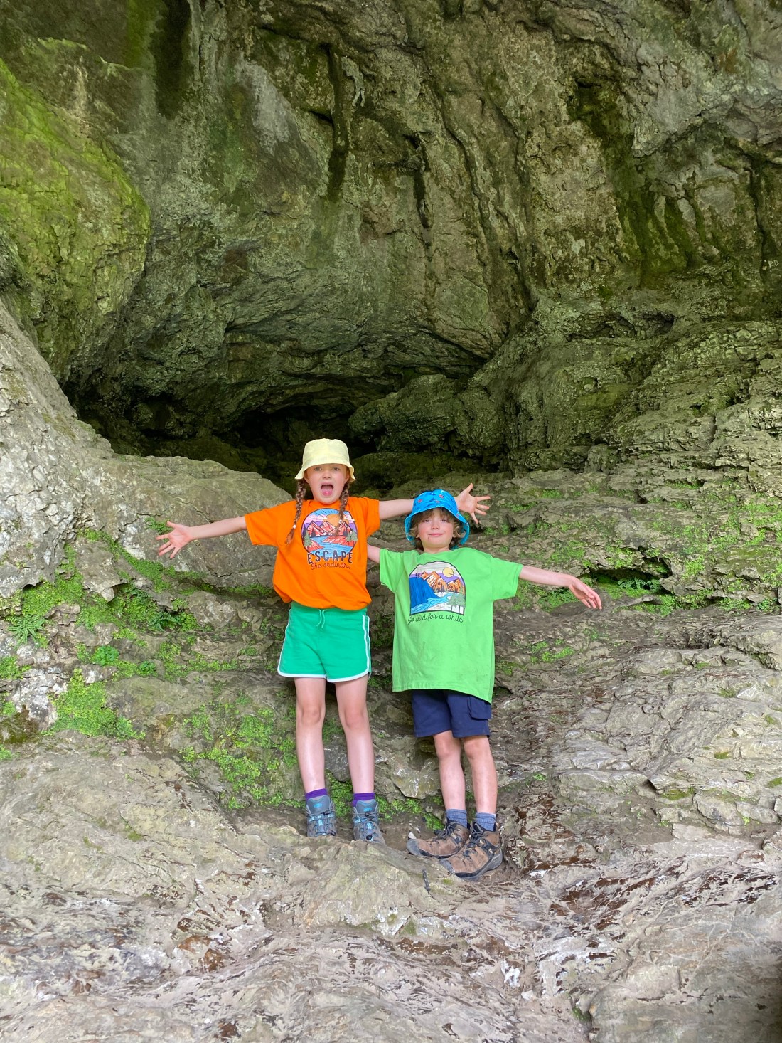
From the pretty village of Alstonefield head down through meadow fields into Dovedale. Follow the picturesque river with caves to explore, past Ilam rock and back through hidden Hall Dale. Distance - 8 km Food - in Milldale there is a great little cafe “hole in the wall” that sells, sandwiches, sausage rolls, cakes, ice-creams … Continue reading Alstonefield – Milldale – Dovedale Loop (8 km)
Monyash loop via Magpie Mine and Lathkill Dale (14.7km)

A lovely walk with the mine buildings to explore and the beautiful Lathkill Dale. Distance - 14.7 km Highest Point- Magpie Mine Food - great places to eat in Monyash! There’s the Old Smithy Tea rooms for breakfasts, lunches, meals, drinks, they do fab breakfasts and really good cake too! There’s also the excellent Bulls … Continue reading Monyash loop via Magpie Mine and Lathkill Dale (14.7km)
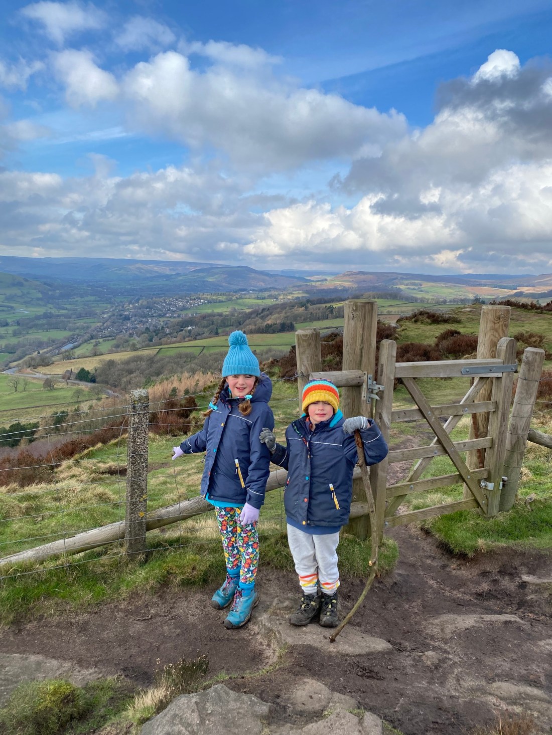
Lose Hill and Hollins Cross from Hope (9.6 km)
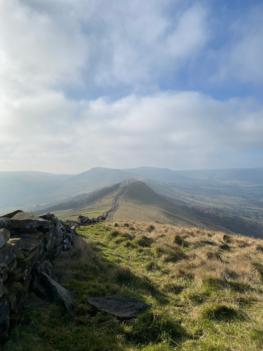
Great views along the ridge towards Mam Tor, not too hard a route, there’s an initial climb to the top and then you follow the ridge line. The walk can easily be cut short or extended to take in Mam Tor! Distance - 9.6 km Highest Point- 476m Lose Hill Food - shops, cafes and … Continue reading Lose Hill and Hollins Cross from Hope (9.6 km)
Win Hill (7.5km)
Fantastic 360deg views over Hope Valley down to Mam Tor and across Ladybower Reservoir. Not a difficult walk, there’s a steep uphill to the farm before levelling out and a little uphill to the trig point. Distance - 7.5km steep walk up past the farm before a flatish section before a little uphill to the … Continue reading Win Hill (7.5km)
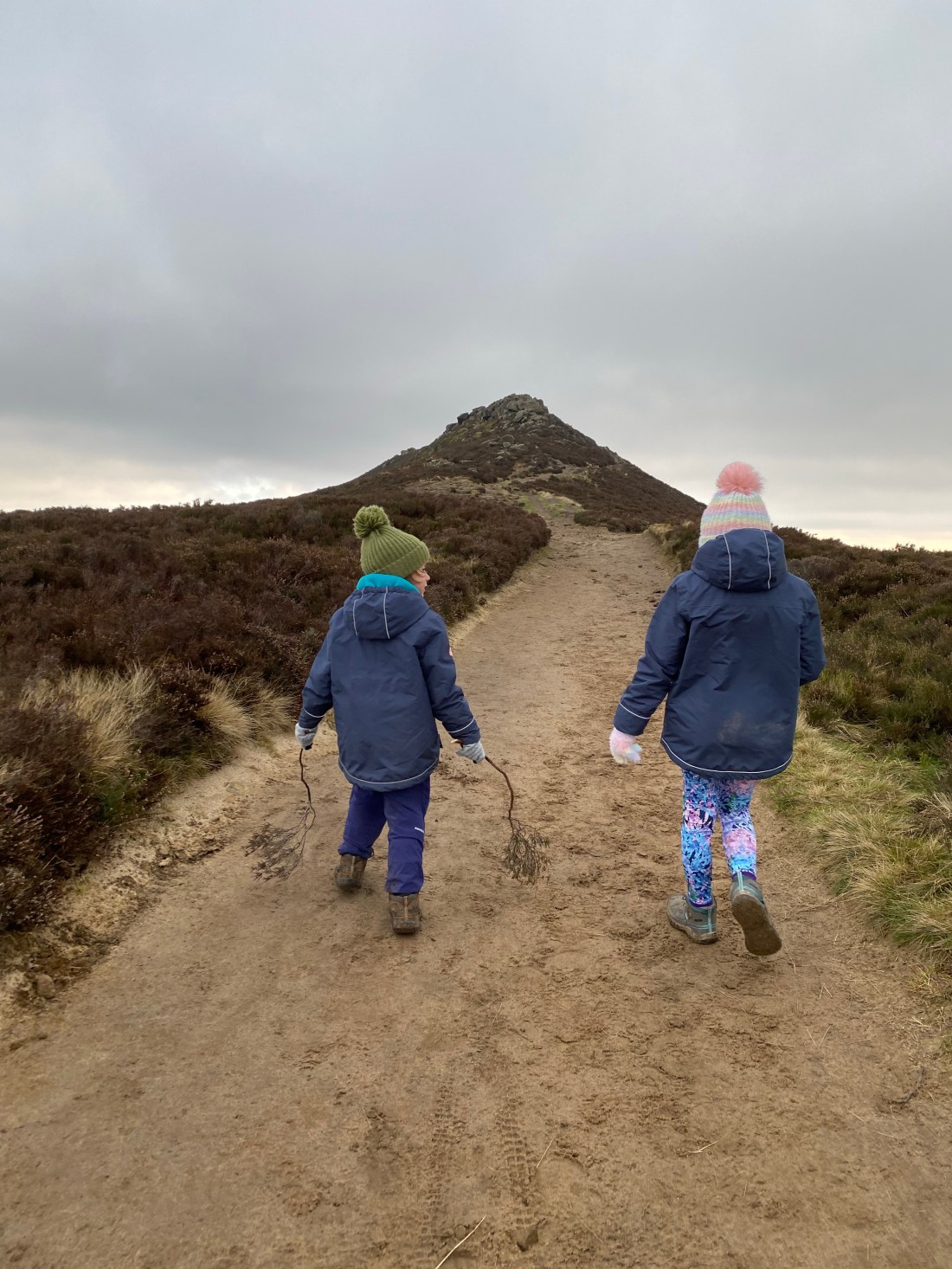
Higger Tor and Owler Tor (8.6km)

Plenty of huge rocks to climb up and over, different paths and great views! Distance - 8.6 km, no huge difficult climbs. Highest Point - Higger Tor 424m, Over Owler Tor 380m Food - National Trust cafe at Longshaw, ice cream van on the B6521 and the station cafe at Grindleford Station Cafe (don’t forget … Continue reading Higger Tor and Owler Tor (8.6km)
Longshaw & Padley Gorge (6.5km)

An easy walk mostly on the level, it is beautiful down by the river and very popular in the Summer. There are various walks around this area, with more height and distance, which will be added soon! We like this for an easy walk all year round in a lovely area! Distance - 6.5km and … Continue reading Longshaw & Padley Gorge (6.5km)
